2019
TQ9223 : Burntoak Barn Field
taken 5 years ago, near to Iden, East Sussex, England
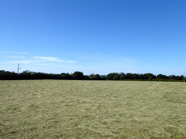
Burntoak Barn Field
The name of the field according to Iden's 1842 tithe map located to the east of TQ9223 : Remains of Burntoak with the newer Burntoak Manor now to its east.
 Map © Crown Copyright")
TIP: Click the map for more Large scale mapping
- Grid Square
- TQ9223, 36 images (more nearby 🔍)
- Photographer
- Simon Carey (more nearby)
- Date Taken
- Saturday, 22 June, 2019 (more nearby)
- Submitted
- Monday, 24 June, 2019
- Subject Location
-
OSGB36:
 TQ 9283 2383 [10m precision]
WGS84: 50:58.8948N 0:44.7439E - Camera Location
-
OSGB36: TQ 9284 2373
- View Direction
- NORTH (about 0 degrees)