2019
NB3740 : Moorland pool, Tom Dhonnachaidh, Isle of Lewis
taken 5 years ago, near to Barcasdail [other Features], Na h-Eileanan an Iar, Great Britain
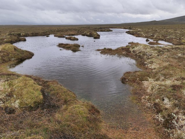
Moorland pool, Tom Dhonnachaidh, Isle of Lewis
The small hill on the right is Tom a' Rùisg with the eastern slopes of Beinn Bharabhais behind.
According to the OS Name Book of 1848-1852, Tom Dhonnachaidh means Duncan's Hillock.
According to the OS Name Book of 1848-1852, Tom Dhonnachaidh means Duncan's Hillock.
 Map © Crown Copyright")
TIP: Click the map for more Large scale mapping
- Grid Square
- NB3740 (more nearby 🔍)
- Photographer
- Claire Pegrum (more nearby)
- Date Taken
- Saturday, 1 June, 2019 (more nearby)
- Submitted
- Saturday, 29 June, 2019
- Subject Location
-
OSGB36:
 NB 37281 40894 [1m precision]
WGS84: 58:16.6745N 6:28.9803W - Camera Location
-
OSGB36: NB 37281 40894
- View Direction
- South-southeast (about 157 degrees)