S7541 : Railway Bridge
taken 5 years ago, 5 km NE of Saint Mullin's, Co Carlow, Ireland
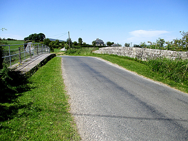
Railway Bridge
Marley Bridge carried the minor road (L 3007) over the, now dismantled, GSWR branch line to New Ross.
![Creative Commons Licence [Some Rights Reserved]](https://s1.geograph.org.uk/img/somerights20.gif)
|
· Find out How to reuse this image ·
Share:
|
|||||
| Start a discussion on S7541 | Suggest an update to this image | Contact the contributor | |||
Loading map... (JavaScript required)
- Grid Square
- S7541, 3 images (more nearby
 )
)
- Photographer
- kevin higgins (find more nearby)
- Date Taken
- Thursday, 27 June, 2019 (more nearby)
- Submitted
- Sunday, 30 June, 2019
- Geographical Context
- Primary Subject of Photo
- Subject Location
-
Irish:
 S 755 418 [100m precision]
WGS84: 52:31.3755N 6:53.2340W - Camera Location
-
Irish: S 756 418
- View Direction
- West-southwest (about 247 degrees)
This page has been viewed about 30 times.
View this location:
KML (Google Earth) ·
Google Maps ·
Bing Maps ·
Geograph Coverage Map ·
More Links for this image
·
Bing Maps ·
Geograph Coverage Map ·
More Links for this image