2019
SJ2077 : Sea defences near Greenfield Dock
taken 5 years ago, near to Greenfield, Flintshire/Sir y Fflint, Wales
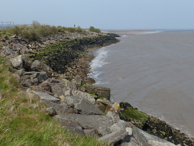
Sea defences near Greenfield Dock
The Afon Dyfrdwy (The River Dee) is a sixty-eight mile long river which rises at Llanuwchllyn in Snowdonia. The river travels in a south-easterly direction, making its way across the border into England. It then changes course to a northerly direction towards its estuary, between North Wales and The Wirral Peninsula in England. It drains into Liverpool Bay and the Irish Sea.
The River Dee's course takes it through the Welsh towns of Berwyn, Corwen, Llangollen, Wrexham and Connah's Quay, the English town of Farndon and the English city of Chester. At Wrexham the river is a natural border between Wales and England. At Connahs Quay the river becomes tidal for the last sixteen miles.
See other images of Afon Dyfrdwy - The River Dee
 Map © Crown Copyright")
TIP: Click the map for more Large scale mapping
- Grid Square
- SJ2077, 49 images (more nearby 🔍)
- Photographer
- Mat Fascione (more nearby)
- Date Taken
- Monday, 15 April, 2019 (more nearby)
- Submitted
- Sunday, 30 June, 2019
- Subject Location
-
OSGB36:
 SJ 201 779 [100m precision]
WGS84: 53:17.5269N 3:11.9449W - Camera Location
-
OSGB36: SJ 202 778
- View Direction
- Northwest (about 315 degrees)