2007
SP3096 : Coleshill Road
taken 16 years ago, near to Atherstone, Warwickshire, England
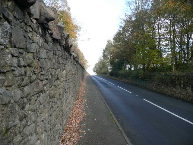
Coleshill Road
The wall to the left runs continuous for several hundred yards and is the boundary of Merevale Estate.
 Map © Crown Copyright")
TIP: Click the map for more Large scale mapping
- Grid Square
- SP3096, 5 images (more nearby 🔍)
- Photographer
- Ian Filmer (more nearby)
- Date Taken
- Saturday, 17 November, 2007 (more nearby)
- Submitted
- Sunday, 25 November, 2007
- Subject Location
-
OSGB36:
 SP 303 968 [100m precision]
WGS84: 52:34.1343N 1:33.2368W - Camera Location
-
OSGB36: SP 301 966
- View Direction
- Northeast (about 45 degrees)