2019
SU5396 : Farmland, Clifton Hampden
taken 5 years ago, near to Clifton Hampden, Oxfordshire, England
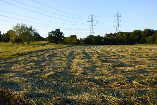
Farmland, Clifton Hampden
Cut hay or silage to the north of the Culham Labs.
 Map © Crown Copyright")
TIP: Click the map for more Large scale mapping
- Grid Square
- SU5396, 18 images (more nearby 🔍)
- Photographer
- Andrew Smith (more nearby)
- Date Taken
- Wednesday, 3 July, 2019 (more nearby)
- Submitted
- Thursday, 4 July, 2019
- Subject Location
-
OSGB36:
 SU 532 965 [100m precision]
WGS84: 51:39.9073N 1:13.8714W - Camera Location
-
OSGB36: SU 531 963
- View Direction
- Northeast (about 45 degrees)