2019
NC8958 : Halladale River in the northern part of Strath Halladale
taken 5 years ago, near to Achiemore, Highland, Scotland
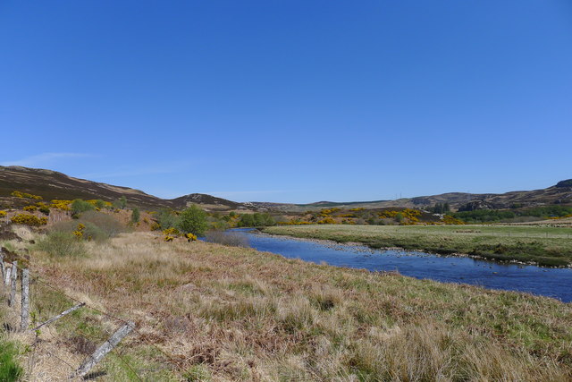
Halladale River in the northern part of Strath Halladale
From the path leading north from Upper Bighouse
 Map © Crown Copyright")
TIP: Click the map for more Large scale mapping
- Grid Square
- NC8958, 10 images (more nearby 🔍)
- Photographer
- Tim Heaton (more nearby)
- Date Taken
- Thursday, 16 May, 2019 (more nearby)
- Submitted
- Sunday, 7 July, 2019
- Subject Location
-
OSGB36:
 NC 8938 5885 [10m precision]
WGS84: 58:30.2238N 3:53.9995W - Camera Location
-
OSGB36: NC 8930 5873
- View Direction
- North-northeast (about 22 degrees)