2019
SJ2861 : The former Camfa-Rhinallt Turnpike House
taken 5 years ago, near to Padeswood, Flintshire/Sir y Fflint, Wales
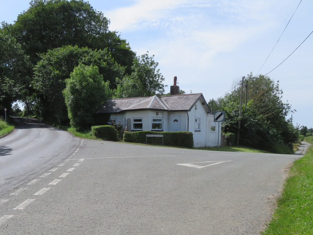
The former Camfa-Rhinallt Turnpike House
The former Camfa-Rhinallt Turnpike House stands at the junction of the A5104 and Padeswood Lake Road. There is an Ordnance Survey bench mark on the north east side of the house: SJ2861 : Bench mark on Camfa-Rhinallt Turnpike House
 Map © Crown Copyright")
TIP: Click the map for more Large scale mapping
- Grid Square
- SJ2861, 15 images (more nearby 🔍)
- Photographer
- John S Turner (more nearby)
- Date Taken
- Thursday, 4 July, 2019 (more nearby)
- Submitted
- Tuesday, 9 July, 2019
- Subject Location
-
OSGB36:
 SJ 2855 6116 [10m precision]
WGS84: 53:8.5665N 3:4.1779W - Camera Location
-
OSGB36: SJ 2859 6115
- View Direction
- WEST (about 270 degrees)