2019
TM5074 : Dunwich River
taken 5 years ago, near to Walberswick, Suffolk, England
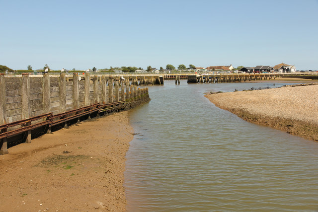
Dunwich River
Dunwich River outfall to the River Blyth at Walberswick
 Map © Crown Copyright")
TIP: Click the map for more Large scale mapping
- Grid Square
- TM5074, 184 images (more nearby 🔍)
- Photographer
- Richard Croft (more nearby)
- Date Taken
- Wednesday, 3 July, 2019 (more nearby)
- Submitted
- Wednesday, 10 July, 2019
- Subject Location
-
OSGB36:
 TM 5017 7491 [10m precision]
WGS84: 52:18.9145N 1:40.1427E - Camera Location
-
OSGB36: TM 5011 7487
- View Direction
- East-northeast (about 67 degrees)