2019
SO4165 : Mere Hill - Lower summit from the south
taken 5 years ago, near to Aymestrey, County of Herefordshire, England
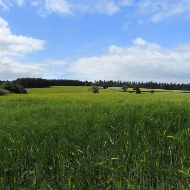
Mere Hill - Lower summit from the south
Viewed from the Covenhope-Aymestrey footpath
 Map © Crown Copyright")
TIP: Click the map for more Large scale mapping
- Grid Square
- SO4165, 19 images (more nearby 🔍)
- Photographer
- Z Pryce (more nearby)
- Date Taken
- Saturday, 13 July, 2019 (more nearby)
- Submitted
- Saturday, 13 July, 2019
- Subject Location
-
OSGB36:
 SO 4125 6536 [10m precision]
WGS84: 52:16.9936N 2:51.7580W - Camera Location
-
OSGB36: SO 4142 6478
- View Direction
- North-northwest (about 337 degrees)