J3674 : Intersection of Upper Newtonards Road and Holywood Road
taken 5 years ago, 3 km from Belfast, Co Antrim, Northern Ireland
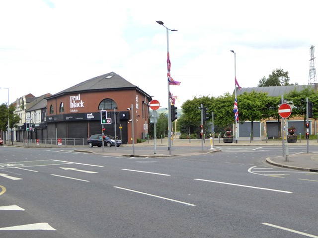
Intersection of Upper Newtonards Road and Holywood Road
The pathway directly opposite leads into CS Lewis Square, a major community regeneration scheme in east Belfast.
![Creative Commons Licence [Some Rights Reserved]](https://s1.geograph.org.uk/img/somerights20.gif)
|
· Find out How to reuse this image ·
Share:
|
|||||
| Start a discussion on J3674 | Suggest an update to this image | Contact the contributor | |||
Loading map... (JavaScript required)
- Grid Square
- J3674, 822 images (more nearby
 )
)
- Photographer
- Oliver Dixon (find more nearby)
- Date Taken
- Sunday, 7 July, 2019 (more nearby)
- Submitted
- Sunday, 14 July, 2019
- Geographical Context
- Primary Subject of Photo
- Subject Location
-
Irish:
 J 365 742 [100m precision]
WGS84: 54:35.8554N 5:53.3059W - Camera Location
-
Irish: J 365 741
- View Direction
- Northwest (about 315 degrees)
Other Tags
This page has been viewed about 22 times.
View this location:
KML (Google Earth) ·
Google Maps ·
Bing Maps ·
Geograph Coverage Map ·
More Links for this image
·
Bing Maps ·
Geograph Coverage Map ·
More Links for this image