2019
SD5273 : A walk along Kirkgate Lane: views from the highest point (12b)
taken 5 years ago, near to Priest Hutton, Lancashire, England
This is 1 of 5 images, with title starting with A walk along Kirkgate Lane: views from the highest point in this square
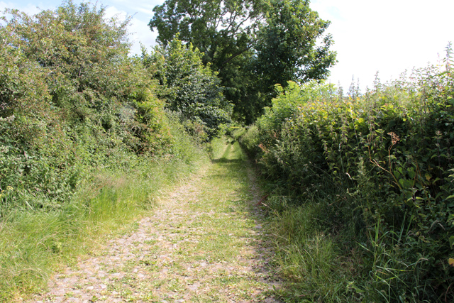
A walk along Kirkgate Lane: views from the highest point (12b)
Looking in a north easterly direction from the highest point on Kirkgate Lane towards Whitebeck Lane. The view point is at approximately at 50 metres above mean sea level.
Kirkgate Lane
Kirkgate Lane is an ancient stone surfaced track between Whitebeck Lane, Priest Hutton and Tewitfield Chapel on Kellet Lane. It is not officially classed as a public byway on the OS map but as an "other route with public access". It is a pleasant walk gently rising by approximately 20 metres to its highest point before dropping down towards the Chapel and the bridge over the Lancaster Canal. There are some lovely views to be had through gateways and the ancient hedges are full of wild flowers and shrubby bushes including hazel, elder and sloe.
 Map © Crown Copyright")
TIP: Click the map for more Large scale mapping
- Grid Square
- SD5273, 145 images (more nearby 🔍)
- Photographer
- Kate Jewell (more nearby)
- Date Taken
- Saturday, 6 July, 2019 (more nearby)
- Submitted
- Monday, 15 July, 2019
- Subject Location
-
OSGB36:
 SD 52520 73638 [1m precision]
WGS84: 54:9.3809N 2:43.7127W - Camera Location
-
OSGB36: SD 52489 73614
- View Direction
- Northeast (about 45 degrees)