2019
TM3042 : Bridleway to All Saints, Ramsholt
taken 5 years ago, near to Hemley, Suffolk, England
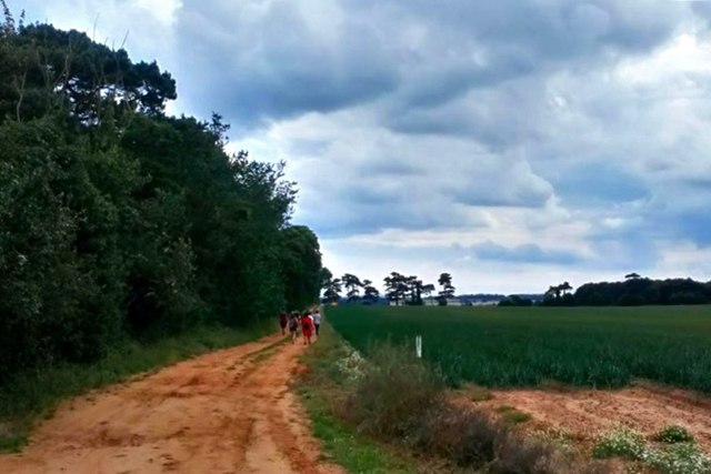
Bridleway to All Saints, Ramsholt
Looking south, with a healthy crop of onions in the adjoining field.
 Map © Crown Copyright")
TIP: Click the map for more Large scale mapping
- Grid Square
- TM3042, 46 images (more nearby 🔍)
- Photographer
- Stuart Shepherd (more nearby)
- Date Taken
- Wednesday, 31 July, 2019 (more nearby)
- Submitted
- Thursday, 1 August, 2019
- Subject Location
-
OSGB36:
 TM 3073 4245 [10m precision]
WGS84: 52:1.9456N 1:21.7394E - Camera Location
-
OSGB36: TM 3075 4251
- View Direction
- South-southwest (about 202 degrees)