2019
NT1333 : Grassy path at Henry's Brae
taken 5 years ago, near to Drumelzier, Scottish Borders, Scotland
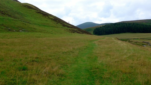
Grassy path at Henry's Brae
The Drumelzier Burn running on the right.
 Map © Crown Copyright")
TIP: Click the map for more Large scale mapping
- Grid Square
- NT1333, 62 images (more nearby 🔍)
- Photographer
- Gordon Brown (more nearby)
- Date Taken
- Friday, 2 August, 2019 (more nearby)
- Submitted
- Saturday, 3 August, 2019
- Subject Location
-
OSGB36:
 NT 1372 3388 [10m precision]
WGS84: 55:35.4528N 3:22.2327W - Camera Location
-
OSGB36: NT 1369 3396
- View Direction
- South-southeast (about 157 degrees)