J3167 : Development site, Edenderry village, Belfast (August 2019)
taken 5 years ago, near to Drumbeg, Co Down, Northern Ireland
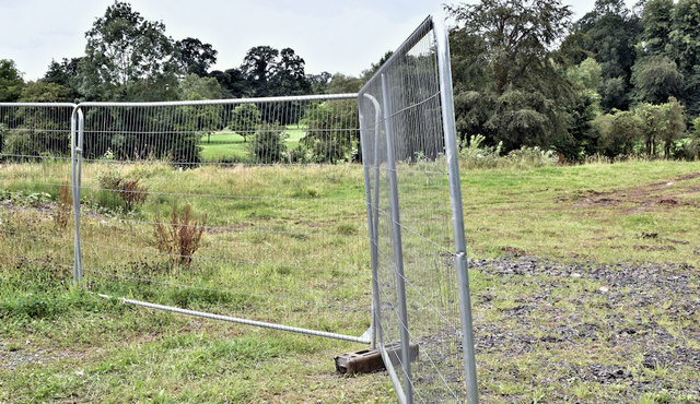
Development site, Edenderry village, Belfast (August 2019)
The vacant site - now the subject of an amended application for planning permission.
Development site, Edenderry village, Belfast
A currently (August 2017) vacant site for which there is the following application (23 June 2017) for planning permission LA04/2017/1439/F Proposed construction of 13 no. dwellings comprising 3 no. detached dwellings and 6 no. semi detached dwellings along with 4 no. apartments. Development also includes alteration of an existing access, parking, landscaping and ancillary works (Amended proposal and drawings) lands opposite Ruby Cottages and St Ellens Terrace Edenderry road Edenderry Village BT8 8JN".
![Creative Commons Licence [Some Rights Reserved]](https://s1.geograph.org.uk/img/somerights20.gif)
|
· Find out How to reuse this image ·
Share:
|
|||||
| Start a discussion on J3167 | Suggest an update to this image | Contact the contributor | |||
Loading map... (JavaScript required)
- Grid Square
- J3167, 66 images (more nearby
 )
)
- Photographer
- Albert Bridge (find more nearby)
- Date Taken
- Monday, 5 August, 2019 (more nearby)
- Submitted
- Monday, 5 August, 2019
- Geographical Context
- Place (from Tags)
- Primary Subject of Photo
- Subject Location
-
Irish:
 J 318 678 [100m precision]
WGS84: 54:32.4879N 5:57.8193W - Camera Location
-
Irish: J 318 678
- View Direction
- South-southwest (about 202 degrees)
Other Tags
This page has been viewed about 78 times.
View this location:
KML (Google Earth) ·
Google Maps ·
Bing Maps ·
Geograph Coverage Map ·
More Links for this image
·
Bing Maps ·
Geograph Coverage Map ·
More Links for this image