2019
NS7636 : Bend in the track by the Birkenhead Burn
taken 5 years ago, 3 km from Stockbriggs, South Lanarkshire, Scotland
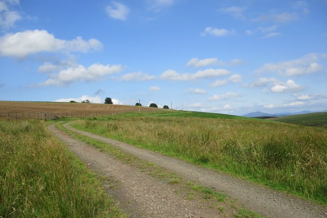
Bend in the track by the Birkenhead Burn
At the upper limits of improved farmland, where it gives way to moorland and forestry plantations.
 Map © Crown Copyright")
TIP: Click the map for more Large scale mapping
- Grid Square
- NS7636, 8 images (more nearby 🔍)
- Photographer
- Alan O'Dowd (more nearby)
- Date Taken
- Thursday, 1 August, 2019 (more nearby)
- Submitted
- Tuesday, 6 August, 2019
- Subject Location
-
OSGB36:
 NS 7645 3613 [10m precision]
WGS84: 55:36.1831N 3:57.7548W - Camera Location
-
OSGB36: NS 7643 3613
- View Direction
- EAST (about 90 degrees)