H9043 : Drumbee Townland
taken 16 years ago, 3 km from Armagh, Northern Ireland
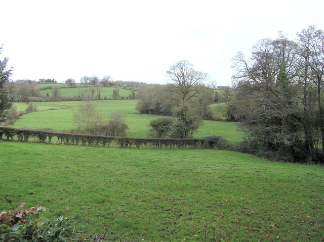
Drumbee Townland
Looking to the north-east
![Creative Commons Licence [Some Rights Reserved]](https://s1.geograph.org.uk/img/somerights20.gif)
|
· Find out How to reuse this image ·
Share:
|
|||||
| Start a discussion on H9043 | Suggest an update to this image | Contact the contributor | |||
Loading map... (JavaScript required)
- Grid Square
- H9043, 5 images (more nearby
 )
)
- Photographer
- Kenneth Allen (find more nearby)
- Date Taken
- Wednesday, 28 November, 2007 (more nearby)
- Submitted
- Thursday, 29 November, 2007
- Category
- Countryside (more nearby)
- Subject Location
-
Irish:
 H 906 439 [100m precision]
WGS84: 54:20.1472N 6:36.4746W - Camera Location
-
Irish: H 905 438
- View Direction
- Northeast (about 45 degrees)
Image classification(about):
Geograph
This page has been viewed about 39 times.
View this location:
KML (Google Earth) ·
Google Maps ·
Bing Maps ·
Geograph Coverage Map ·
More Links for this image
·
Bing Maps ·
Geograph Coverage Map ·
More Links for this image