2019
NO6866 : Farmland near Myreside
taken 5 years ago, near to Mains of Kirktonhill, Aberdeenshire, Scotland
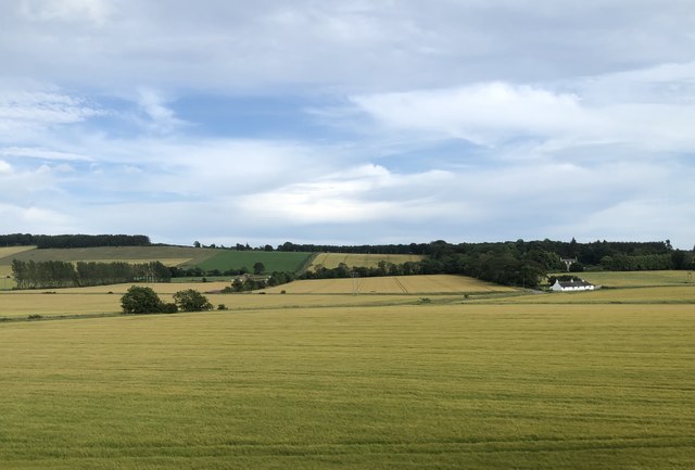
Farmland near Myreside
 Map © Crown Copyright")
TIP: Click the map for more Large scale mapping
- Grid Square
- NO6866, 14 images (more nearby 🔍)
- Photographer
- David Robinson (more nearby)
- Date Taken
- Wednesday, 24 July, 2019 (more nearby)
- Submitted
- Wednesday, 7 August, 2019
- Subject Location
-
OSGB36:
 NO 6873 6685 [10m precision]
WGS84: 56:47.5283N 2:30.8103W - Camera Location
-
OSGB36: NO 68565 66900
- View Direction
- East-southeast (about 112 degrees)