2019
SX4851 : The wall above Bovisand Fort from the Tamar
taken 5 years ago, near to Turnchapel, Plymouth, England
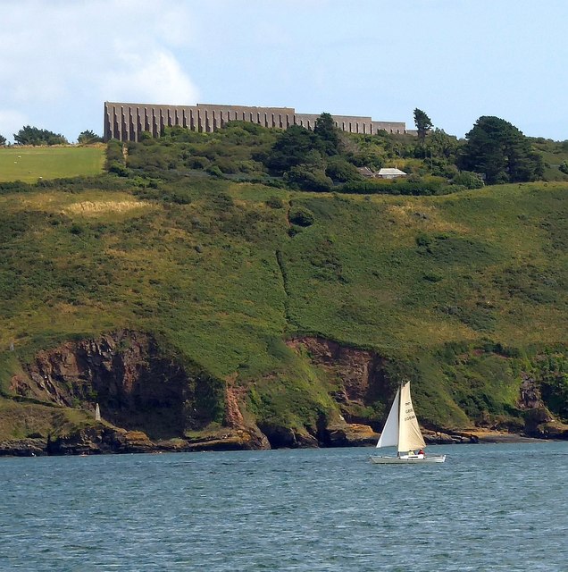
The wall above Bovisand Fort from the Tamar
The huge wall seen above Fort Bovisand in this image was completed in two phases, the first in the 1860s, the second in 1893 as a target butt wall to prevent small arms fire impinging on the land beyond. See Link for a lot more detail of this part of a Scheduled Monument.
 Map © Crown Copyright")
TIP: Click the map for more Large scale mapping
- Grid Square
- SX4851, 42 images (more nearby 🔍)
- Photographer
- Rob Farrow (more nearby)
- Date Taken
- Saturday, 27 July, 2019 (more nearby)
- Submitted
- Friday, 9 August, 2019
- Subject Location
-
OSGB36:
 SX 489 511 [100m precision]
WGS84: 50:20.4673N 4:7.4460W - Camera Location
-
OSGB36: SX 462 511
- View Direction
- EAST (about 90 degrees)