2019
TG2014 : A1270 Broadland Northway, Horsford
taken 5 years ago, near to Horsford, Norfolk, England
This is 1 of 2 images, with title A1270 Broadland Northway, Horsford in this square
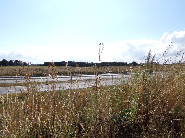
A1270 Broadland Northway, Horsford
Taken from Holt Road near New Holme Farmhouse
 Map © Crown Copyright")
TIP: Click the map for more Large scale mapping
- Grid Square
- TG2014, 47 images (more nearby 🔍)
- Photographer
- Geographer (more nearby)
- Date Taken
- Monday, 5 August, 2019 (more nearby)
- Submitted
- Saturday, 10 August, 2019
- Subject Location
-
OSGB36:
 TG 20214 14349 [1m precision]
WGS84: 52:40.9231N 1:15.3853E - Camera Location
-
OSGB36: TG 20269 14385
- View Direction
- West-southwest (about 247 degrees)