H5572 : A bend along Roeglen Road
taken 5 years ago, 4 km SW of Milltown, Co Tyrone, Northern Ireland
This is 1 of 2 images, with title A bend along Roeglen Road in this square
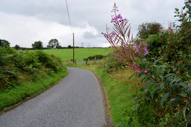
A bend along Roeglen Road
Heading north-west at Bracky
I felt a few spits of rain here and was nearly going to put up the umbrella but it came to nothing
I felt a few spits of rain here and was nearly going to put up the umbrella but it came to nothing
![Creative Commons Licence [Some Rights Reserved]](https://s1.geograph.org.uk/img/somerights20.gif)
|
· Find out How to reuse this image ·
Share:
|
|||||
| Start a discussion on H5572 | Suggest an update to this image | Contact the contributor | |||
Loading map... (JavaScript required)
- Grid Square
- H5572, 335 images (more nearby
 )
)
- Photographer
- Kenneth Allen (find more nearby)
- Date Taken
- Saturday, 10 August, 2019 (more nearby)
- Submitted
- Saturday, 10 August, 2019
- Geographical Context
- Subject Location
-
Irish:
 H 552 725 [100m precision]
WGS84: 54:35.9014N 7:8.7555W - Camera Location
-
Irish: H 552 725
- View Direction
- Northwest (about 315 degrees)
Other Tags
This page has been viewed about 44 times.
View this location:
KML (Google Earth) ·
Google Maps ·
Bing Maps ·
Geograph Coverage Map ·
More Links for this image
·
Bing Maps ·
Geograph Coverage Map ·
More Links for this image