C6804 : Track through Banagher Glen Nature Reserve
taken 5 years ago, 5 km S of Dungiven, Co Londonderry, Northern Ireland
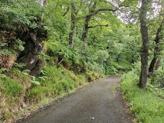
Track through Banagher Glen Nature Reserve
Following the Altnaheglish River towards Altnaheglish Reservoir.
![Creative Commons Licence [Some Rights Reserved]](https://s1.geograph.org.uk/img/somerights20.gif)
|
· Find out How to reuse this image ·
Share:
|
|||||
| Start a discussion on C6804 | Suggest an update to this image | Contact the contributor | |||
Loading map... (JavaScript required)
- Grid Square
- C6804, 20 images (more nearby
 )
)
- Photographer
- Phil Champion (find more nearby)
- Date Taken
- Thursday, 18 July, 2019 (more nearby)
- Submitted
- Sunday, 11 August, 2019
- Geographical Context
- Primary Subject of Photo
- Subject Location
-
Irish:
 C 682 045 [100m precision]
WGS84: 54:53.0127N 6:56.2405W - Camera Location
-
Irish: C 682 044
- View Direction
- East-northeast (about 67 degrees)
Other Tags
This page has been viewed about 54 times.
View this location:
KML (Google Earth) ·
Google Maps ·
Bing Maps ·
Geograph Coverage Map ·
More Links for this image
·
Bing Maps ·
Geograph Coverage Map ·
More Links for this image