2019
SP1833 : Batsford: aerial 2019
taken 5 years ago, near to Batsford, Gloucestershire, England
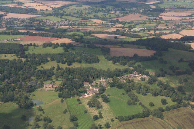
Batsford: aerial 2019
 Map © Crown Copyright")
TIP: Click the map for more Large scale mapping
- Grid Square
- SP1833, 208 images (more nearby 🔍)
- Photographer
- Chris (more nearby)
- Date Taken
- Thursday, 8 August, 2019 (more nearby)
- Submitted
- Thursday, 15 August, 2019
- Subject Location
-
OSGB36:
 SP 1865 3371 [10m precision]
WGS84: 52:0.0912N 1:43.7846W - Camera Location
-
OSGB36: SP 2023 3296
- View Direction
- West-northwest (about 292 degrees)