2019
SK2082 : Junction of Saltergate Lane and Station Road
taken 5 years ago, near to Bamford, Derbyshire, England
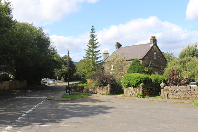
Junction of Saltergate Lane and Station Road
In Bamford.
 Map © Crown Copyright")
TIP: Click the map for more Large scale mapping
- Grid Square
- SK2082, 131 images (more nearby 🔍)
- Photographer
- Andrew Abbott (more nearby)
- Date Taken
- Sunday, 18 August, 2019 (more nearby)
- Submitted
- Monday, 19 August, 2019
- Subject Location
-
OSGB36:
 SK 2072 8266 [10m precision]
WGS84: 53:20.4264N 1:41.4164W - Camera Location
-
OSGB36: SK 20740 82636
- View Direction
- North-northwest (about 337 degrees)