SP0887 : HS2 site demolitions northeast of Lawley Middleway, Birmingham
taken 5 years ago, near to Birmingham, England
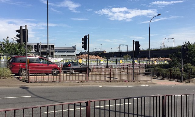
HS2 is the second high-speed rail line in Great Britain, between London and Birmingham and beyond. In 2019 the site of the Birmingham terminus, Curzon Street Station, has been fenced and works have begun.
The huge Curzon Street site, long-vacant, has been home to railway stations before. In the 1830s railway companies had built lines from Liverpool, Derby and Gloucester into Birmingham, each with its own terminus. Not until 1838 did the London and Birmingham Railway open Curzon Street station to receive its trains from Euston. It soon became an interchange station although disadvantaged by its distance from the heart of the town. In the 1840s new companies competed to introduce new routes, particularly north-south and northeast-southwest services via Birmingham.
"A significant proportion of Birmingham's railway network dates from this time. With this certainty came two realisations: first, that a good and convenient railway system was the key to prosperity, and second, that Birmingham deserved something far better than having its stations tucked away on the periphery. A bold plan was therefore evolved [by the newly-formed London and North Western Railway Company (L&NWR) supported by the town's Street Commissioners] to create a 'grand central station'". They and the other companies extended and connected their lines into the new station which opened in 1854 as Birmingham New Street. It was an immediate success as services were diverted to it; Curzon Street closed to regular passenger trains within a month but its goods yard developed massively in subsequent years.
to be continued
Further reading: Richard Foster. Birmingham New Street, the story of a great station including Curzon Street (4 volumes). 1: Background and Beginnings, the years up to 1860. Didcot: Wild Swan Publications, 1990. ISBN 0 906867 78 9
 Map © Crown Copyright")
- Grid Square
- SP0887, 212 images (more nearby 🔍)
- Photographer
- Robin Stott (more nearby)
- Date Taken
- Saturday, 24 August, 2019 (more nearby)
- Submitted
- Sunday, 1 September, 2019
- Subject Location
-
OSGB36:
 SP 0834 8721 [10m precision]
WGS84: 52:28.9650N 1:52.7173W - Camera Location
-
OSGB36: SP 0826 8722
- View Direction
- EAST (about 90 degrees)