W2772 : A field for livestock
taken 5 years ago, near to Killnamartery, Co Cork, Ireland
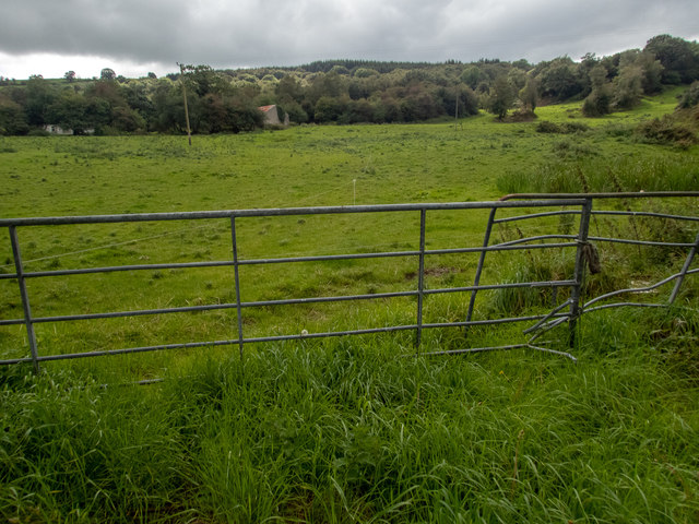
A field for livestock
There is an electric fence in the field, so it must be for livestock, though none was to be seen. There is a building visible, which is one of a number marked on the 1:50000 OS map at the end of a lane. The rising ground to the forestry is in the square.
![Creative Commons Licence [Some Rights Reserved]](https://s1.geograph.org.uk/img/somerights20.gif)
|
· Find out How to reuse this image ·
Share:
|
|||||
| Start a discussion on W2772 | Suggest an update to this image | Contact the contributor | |||
Loading map... (JavaScript required)
- Grid Square
- W2772 (more nearby
 )
)
- Photographer
- Neville Goodman (find more nearby)
- Date Taken
- Monday, 2 September, 2019 (more nearby)
- Submitted
- Thursday, 5 September, 2019
- Geographical Context
- Primary Subject of Photo
- Subject Location
-
Irish:
 W 274 726 [100m precision]
WGS84: 51:54.0990N 9:3.2602W - Camera Location
-
Irish: W 274 728
- View Direction
- SOUTH (about 180 degrees)
This page has been viewed about 17 times.
View this location:
KML (Google Earth) ·
Google Maps ·
Bing Maps ·
Geograph Coverage Map ·
More Links for this image
·
Bing Maps ·
Geograph Coverage Map ·
More Links for this image