2019
SH4459 : Y Foryd, from the western shore
taken 5 years ago, 3 km from Llanfaglan, Gwynedd, Wales
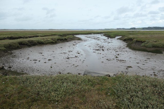
Y Foryd, from the western shore
Almost three hours after high tide.
 Map © Crown Copyright")
TIP: Click the map for more Large scale mapping
- Grid Square
- SH4459, 32 images (more nearby 🔍)
- Photographer
- Christine Johnstone (more nearby)
- Date Taken
- Wednesday, 21 August, 2019 (more nearby)
- Submitted
- Monday, 9 September, 2019
- Subject Location
-
OSGB36:
 SH 4429 5960 [10m precision]
WGS84: 53:6.6477N 4:19.6638W - Camera Location
-
OSGB36: SH 4421 5953
- View Direction
- Northeast (about 45 degrees)