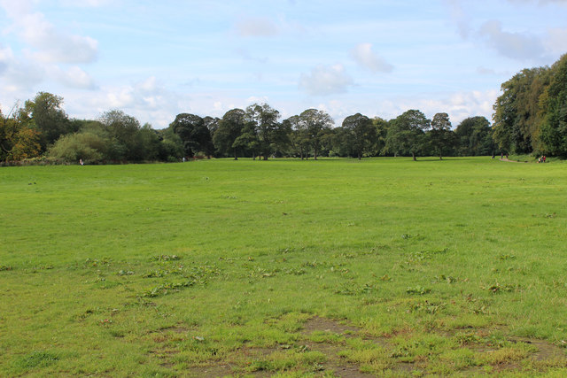
SD6527 : Green Expanse in Witton Country Park
taken 5 years ago, near to Pleasington, Blackburn With Darwen, England
A 32 mile circular long distance footpath starting and finishing in Witton Country Park to the west of Blackburn. The route explores weavers cottages, ancient halls, country estates and historic villages.
Within the circuit, there are 4 shorter walks with the unusual titles of Beamers, Reelers, Tacklers and Warpers.
Witton Country Park covers 480 acres of countryside approximately 2 miles to the west of Blackburn town centre. About half of the park is mixed woodland and parkland, while the rest is either farmland or rough grassland with open access.
The estate was once owned by the Feilden family, who built and lived in Witton House (18001946) and created the park at the same time. From approximately 1900 the house was empty for long periods and during both world wars the house and estate were used by the army. Sadly, Witton House was demolished in 1952, after being sold to Blackburn Corporation in 1946. The Witton Estate, comprising some 485 acres, was included in this sale. Fortunately, the outbuildings of Witton House survived, and the former stables and coach-houses were renovated in the late 1970s.
 Map © Crown Copyright")
- Grid Square
- SD6527, 37 images (more nearby 🔍)
- Photographer
- Chris Heaton (more nearby)
- Date Taken
- Sunday, 8 September, 2019 (more nearby)
- Submitted
- Tuesday, 10 September, 2019
- Subject Location
-
OSGB36:
 SD 6590 2711 [10m precision]
WGS84: 53:44.3550N 2:31.1074W - Camera Location
-
OSGB36: SD 6597 2717
- View Direction
- Southwest (about 225 degrees)