2019
SN7370 : Farm track above Llethr
taken 5 years ago, near to Ysbyty Ystwyth, Ceredigion/Sir Ceredigion, Wales
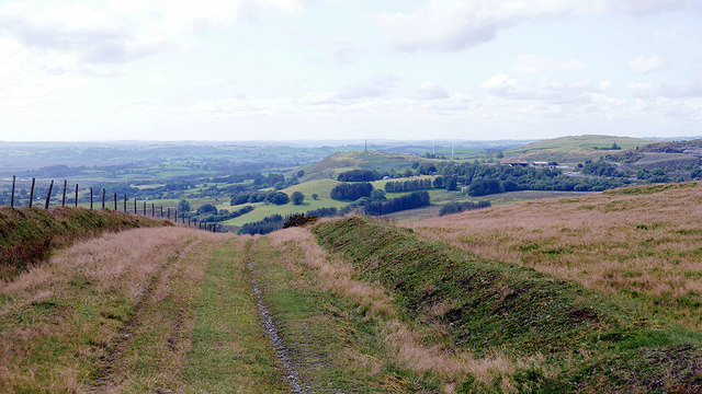
Farm track above Llethr
Is also a bridleway. Hendre Quarry is visible in the distance on the right.
 Map © Crown Copyright")
TIP: Click the map for more Large scale mapping
- Grid Square
- SN7370, 12 images (more nearby 🔍)
- Photographer
- John Lucas (more nearby)
- Date Taken
- Tuesday, 10 September, 2019 (more nearby)
- Submitted
- Thursday, 12 September, 2019
- Subject Location
-
OSGB36:
 SN 7393 7030 [10m precision]
WGS84: 52:18.9771N 3:51.0548W - Camera Location
-
OSGB36: SN 73968 70340
- View Direction
- Southwest (about 225 degrees)