2019
SP0189 : Roebuck Lane railway bridge north of Kenrick Way
taken 5 years ago, near to West Bromwich, Sandwell, England
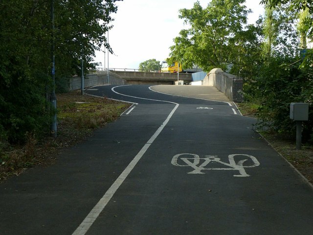
Roebuck Lane railway bridge north of Kenrick Way
The road was cut when the M5 was constructed. A subway is provided for pedestrian and cycle traffic - part of National Cycle Route 5.
National Cycle Route 5
National Route 5 of the National Cycle Network is a long distance route which when complete will connect Reading and Holyhead via Oxford, Banbury, Stratford-upon-Avon, Redditch, Bromsgrove, Birmingham, Walsall, Stafford, Stoke-on-Trent, Chester, Colwyn Bay and Bangor. The southern half of the route between Reading and Walsall is open and signed whilst the northern half between Walsall and Holyhead is still under development.
 Map © Crown Copyright")
TIP: Click the map for more Large scale mapping
- Grid Square
- SP0189, 195 images (more nearby 🔍)
- Photographer
- Alan Murray-Rust (more nearby)
- Date Taken
- Thursday, 5 September, 2019 (more nearby)
- Submitted
- Thursday, 12 September, 2019
- Subject Location
-
OSGB36:
 SP 0161 8999 [10m precision]
WGS84: 52:30.4681N 1:58.6625W - Camera Location
-
OSGB36: SP 0164 8993
- View Direction
- North-northwest (about 337 degrees)