SJ8398 : Ship Canal House
taken 5 years ago, near to Manchester, England
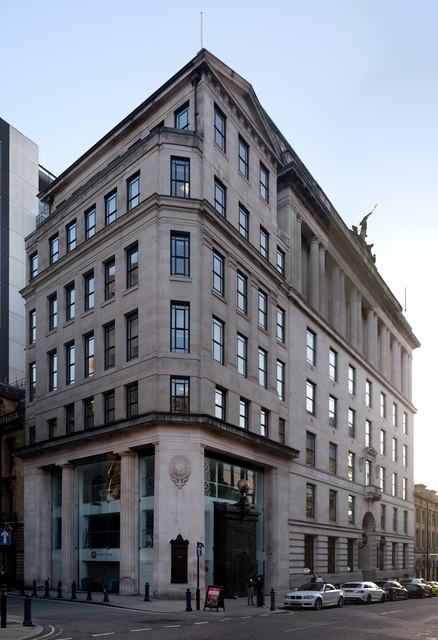
This is a grade II listed building - see Link
The Manchester Ship Canal, which took six years to build and was opened in 1894, is a 36-mile-long inland waterway linking Manchester to the Irish Sea at Liverpool. It generally follows the original routes of the rivers Mersey and Irwell through the historic counties of Cheshire and Lancashire. Several sets of locks lift vessels about 60 feet up to the Manchester Docks (now Salford Quays), where the canal's terminus was built.
When the ship canal opened in January 1894 it was the largest river navigation canal in the world, and enabled the newly created Port of Manchester to become Britain's third busiest port despite the city being about 40 miles inland. Since its opening, the canal handled a wide range of ships and cargoes, from coastal vessels to intra-European shipping and inter-continental cargo liners; Manchester Liners established regular sailings by large ocean-going vessels.
The amount of freight carried by the canal peaked in 1958 at 18 million long tons but changes to shipping methods and the growth of containerisation during the 1970s and 1980s caused traffic to decline, resulting in the closure of the docks at Salford in 1984. Although able to accommodate a range of vessels from coastal ships to inter-continental cargo liners, the canal is no longer large enough for most modern vessels.
Listed buildings and structures are officially designated as being of special architectural, historical or cultural significance. There are over half a million listed structures in the United Kingdom, covered by around 375,000 listings.
Listed status is more commonly associated with buildings or groups of buildings, however it can cover many other structures, including bridges, headstones, steps, ponds, monuments, walls, phone boxes, wrecks, parks, and heritage sites, and in more recent times a road crossing (Abbey Road) and graffiti art (Banksy 'Spy-booth') have been included.
In England and Wales there are three main listing designations;
Grade I (2.5%) - exceptional interest, sometimes considered to be internationally important.
Grade II* (5.5%) - particularly important buildings of more than special interest.
Grade II (92%) - nationally important and of special interest.
There are also locally listed structures (at the discretion of local authorities) using A, B and C designations.
In Scotland three classifications are also used but the criteria are different. There are around 47,500 Listed buildings.
Category A (8%)- generally equivalent to Grade I and II* in England and Wales
Category B (51%)- this appears generally to cover the ground of Grade II, recognising national importance.
Category C (41%)- buildings of local importance, probably with some overlap with English Grade II.
In Northern Ireland the criteria are similar to Scotland, but the classifications are:
Grade A (2.3%)
Grade B+ (4.7%)
Grade B (93%)
Read more at Wikipedia Link
 Map © Crown Copyright")
- Grid Square
- SJ8398, 3265 images (more nearby 🔍)
- Photographer
- Bob Harvey (more nearby)
- Date Taken
- Wednesday, 11 September, 2019 (more nearby)
- Submitted
- Thursday, 12 September, 2019
- Subject Location
-
OSGB36:
 SJ 83961 98244 [1m precision]
WGS84: 53:28.8402N 2:14.5889W - Camera Location
-
OSGB36: SJ 8401 9827
- View Direction
- West-southwest (about 247 degrees)