2019
TF2653 : Culvert at Bunkers Hill
taken 5 years ago, near to Bunker's Hill, Lincolnshire, England
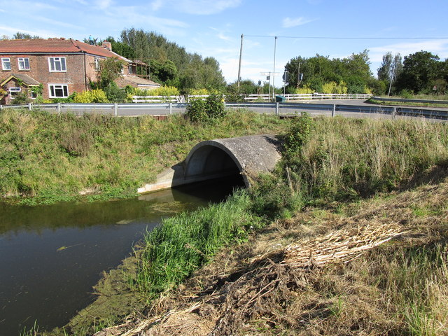
Culvert at Bunkers Hill
Howbridge Drain.
 Map © Crown Copyright")
TIP: Click the map for more Large scale mapping
- Grid Square
- TF2653, 7 images (more nearby 🔍)
- Photographer
- Jonathan Thacker (more nearby)
- Date Taken
- Friday, 13 September, 2019 (more nearby)
- Submitted
- Friday, 13 September, 2019
- Subject Location
-
OSGB36:
 TF 2644 5387 [10m precision]
WGS84: 53:4.0270N 0:6.8655W - Camera Location
-
OSGB36: TF 2641 5390
- View Direction
- Southeast (about 135 degrees)