2006
TA3709 : Bull Sand Fort
taken 17 years ago, near to Humber Pilot Station [other Features], East Riding of Yorkshire, Great Britain
This is 1 of 8 images, with title Bull Sand Fort in this square
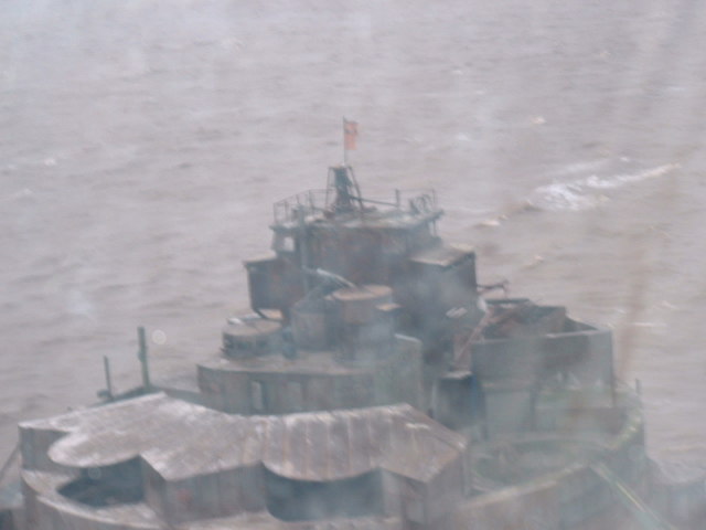
Bull Sand Fort
 Map © Crown Copyright")
TIP: Click the map for more Large scale mapping
- Grid Square
- TA3709, 12 images (more nearby 🔍)
- Photographer
- liz (more nearby)
- Date Taken
- Sunday, 10 December, 2006 (more nearby)
- Submitted
- Monday, 3 December, 2007
- Subject Location
-
OSGB36:
 TA 370 092 [100m precision]
WGS84: 53:33.7242N 0:4.0456E - Camera Location
-
OSGB36: TA 370 092
- View Direction
- West-southwest (about 247 degrees)