2014
NH2231 : Below the Mullardoch Dam
taken 10 years ago, 3 km from Liatrie, Highland, Scotland
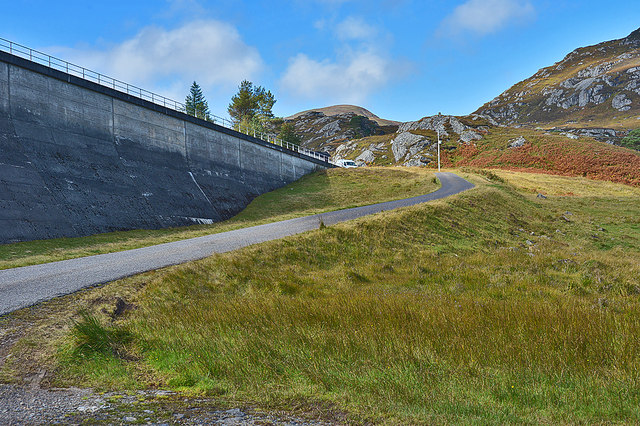
Below the Mullardoch Dam
There is parking space here for those wishing to explore beyond the dam.The public road itself terminates just out of sight close to the lodge by the dam.
 Map © Crown Copyright")
TIP: Click the map for more Large scale mapping
- Grid Square
- NH2231, 59 images (more nearby 🔍)
- Photographer
- Nigel Brown (more nearby)
- Date Taken
- Wednesday, 1 October, 2014 (more nearby)
- Submitted
- Tuesday, 17 September, 2019
- Subject Location
-
OSGB36:
 NH 2201 3155 [10m precision]
WGS84: 57:20.3764N 4:57.5444W - Camera Location
-
OSGB36: NH 2209 3154
- View Direction
- West-northwest (about 292 degrees)