2019
SX7079 : Boundary Wall, Hamel Down
taken 5 years ago, 3 km from Widecombe in The Moor, Devon, England
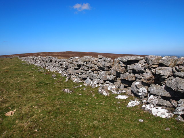
Boundary Wall, Hamel Down
 Map © Crown Copyright")
TIP: Click the map for more Large scale mapping
- Grid Square
- SX7079, 45 images (more nearby 🔍)
- Photographer
- Chris Andrews (more nearby)
- Date Taken
- Friday, 20 September, 2019 (more nearby)
- Submitted
- Wednesday, 25 September, 2019
- Subject Location
-
OSGB36:
 SX 7072 7904 [10m precision]
WGS84: 50:35.8036N 3:49.6783W - Camera Location
-
OSGB36: SX 7073 7901
- View Direction
- North-northwest (about 337 degrees)