H6441 : Road at Drumdart
taken 16 years ago, near to Tedavnet, Co Monaghan, Ireland
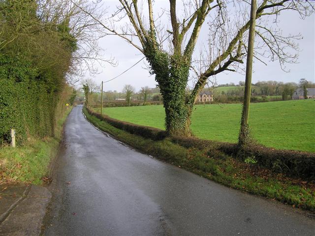
Road at Drumdart
This was a wet day, but I am not a fair weather photographer!
![Creative Commons Licence [Some Rights Reserved]](https://s1.geograph.org.uk/img/somerights20.gif)
|
· Find out How to reuse this image ·
Share:
|
|||||
| Start a discussion on H6441 | Suggest an update to this image | Contact the contributor | |||
Loading map... (JavaScript required)
- Grid Square
- H6441 (more nearby
 )
)
- Photographer
- Kenneth Allen (find more nearby)
- Date Taken
- Wednesday, 5 December, 2007 (more nearby)
- Submitted
- Thursday, 6 December, 2007
- Category
- Country road (more nearby)
- Subject Location
-
Irish:
 H 648 411 [100m precision]
WGS84: 54:18.8730N 7:0.2215W - Camera Location
-
Irish: H 648 410
- View Direction
- Northeast (about 45 degrees)
This page has been viewed about 111 times.
View this location:
KML (Google Earth) ·
Google Maps ·
Bing Maps ·
Geograph Coverage Map ·
More Links for this image
·
Bing Maps ·
Geograph Coverage Map ·
More Links for this image