S4295 : M7 Portlaoise to Castletown Motorway
taken 5 years ago, 5 km WSW of Portlaoise, Co Laois, Ireland
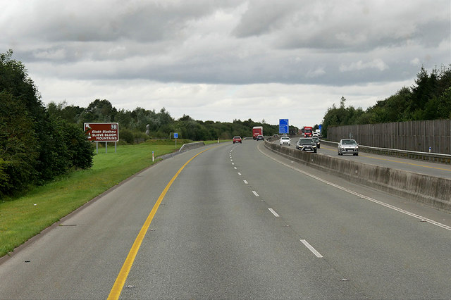
M7 Portlaoise to Castletown Motorway
The N7/M7 route is a national primary road/motorway in Ireland. It runs for 18k km (116 miles), connecting Limerick and Dublin. The majority of the route (between Naas and Limerick) is motorway standard and is designated as the M7 motorway. The road passes through the midlands of Ireland, and acts as a trunk route out of Dublin for the N8 and N9 national primary routes to Cork and Waterford respectively. It forms part of European route E20. The section of the N7 between Naas and the M50 Motorway is the second busiest road in the country with frequent daily tailbacks from the Naas North junction on the southbound side.
See other images of Irish National Primary Road N7/Motorway M7 (E20)
See other images of Irish National Primary Road N7/Motorway M7 (E20)
![Creative Commons Licence [Some Rights Reserved]](https://s1.geograph.org.uk/img/somerights20.gif)
|
· Find out How to reuse this image ·
Share:
|
|||||
| Start a discussion on S4295 | Suggest an update to this image | Contact the contributor | |||
Loading map... (JavaScript required)
- Grid Square
- S4295, 3 images (more nearby
 )
)
- Photographer
- David Dixon (find more nearby)
- Date Taken
- Thursday, 15 August, 2019 (more nearby)
- Submitted
- Friday, 11 October, 2019
- Geographical Context
- Camera (from Tags)
- Motorway (from Tags)
- Subject Location
-
Irish:
 S 421 958 [100m precision]
WGS84: 53:0.7259N 7:22.3387W - Camera Location
-
Irish: S 420 957
- View Direction
- Northeast (about 45 degrees)
Other Tags
This page has been viewed about 47 times.
View this location:
KML (Google Earth) ·
Google Maps ·
Bing Maps ·
Geograph Coverage Map ·
More Links for this image
·
Bing Maps ·
Geograph Coverage Map ·
More Links for this image