2019
SK4837 : The edge of Sandiacre
taken 5 years ago, near to Sandiacre, Derbyshire, England
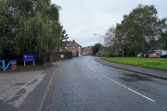
The edge of Sandiacre
The road is Ilkeston Road and to the right of the road behind the trees and houses is the Erewash Canal, a railway line and the River Erewash, so it is no surprise that there were several road signs saying "flood". Thankfully the water had mostly receded.
 Map © Crown Copyright")
TIP: Click the map for more Large scale mapping
- Grid Square
- SK4837, 147 images (more nearby 🔍)
- Photographer
- Malcolm Neal (more nearby)
- Date Taken
- Tuesday, 15 October, 2019 (more nearby)
- Submitted
- Tuesday, 15 October, 2019
- Subject Location
-
OSGB36:
 SK 4812 3712 [10m precision]
WGS84: 52:55.7603N 1:17.1362W - Camera Location
-
OSGB36: SK 4808 3704
- View Direction
- North-northeast (about 22 degrees)