2019
TL1197 : The Mill at Water Newton
taken 4 years ago, near to Water Newton, Cambridgeshire, England
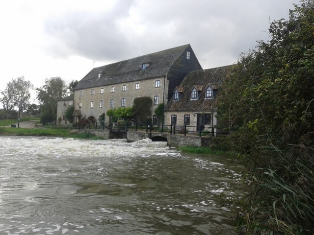
The Mill at Water Newton
The force of water coming through the millraces produced a standing wave. There had been ~70mm rain during the previous two weeks: the meadow on the river island was flooded, and the river was high (though not as high as it had been). Camera position: Link
 Map © Crown Copyright")
TIP: Click the map for more Large scale mapping
- Grid Square
- TL1197, 59 images (more nearby 🔍)
- Photographer
- Edward Bainton (more nearby)
- Date Taken
- Saturday, 19 October, 2019 (more nearby)
- Submitted
- Sunday, 20 October, 2019
- Subject Location
-
OSGB36:
 TL 1100 9738 [10m precision]
WGS84: 52:33.7763N 0:21.8351W - Camera Location
-
OSGB36: TL 1102 9742
- View Direction
- South-southwest (about 202 degrees)