2019
NH6348 : Yairs Rise / Uchd nan Cairidhean, North Kessock
taken 4 years ago, near to Charlestown, Highland, Scotland
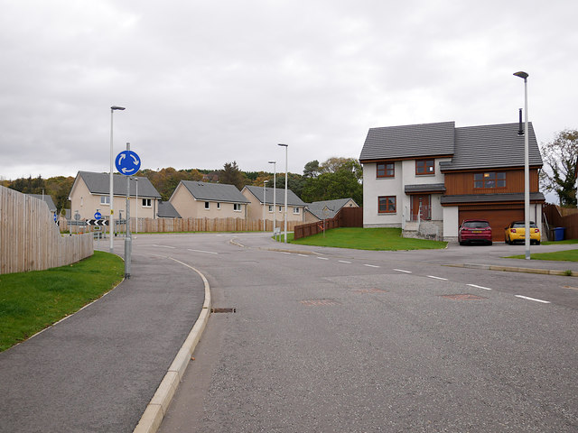
Yairs Rise / Uchd nan Cairidhean, North Kessock
Part of a new housing development on the western edge of North Kessock and Charleston. Heading up towards a roundabout, the road links through to the A9.
The "yairs" or "cairidhean" were a type of stone weir used as a fish trap, several have been found in the Beauly Firth near here.
The "yairs" or "cairidhean" were a type of stone weir used as a fish trap, several have been found in the Beauly Firth near here.
 Map © Crown Copyright")
TIP: Click the map for more Large scale mapping
- Grid Square
- NH6348, 61 images (more nearby 🔍)
- Photographer
- Craig Wallace (more nearby)
- Date Taken
- Wednesday, 23 October, 2019 (more nearby)
- Submitted
- Thursday, 24 October, 2019
- Subject Location
-
OSGB36:
 NH 6392 4856 [10m precision]
WGS84: 57:30.4034N 4:16.3724W - Camera Location
-
OSGB36: NH 63917 48538
- View Direction
- North-northeast (about 22 degrees)