2019
NT3336 : House building at Caerlee Mill, Innerleithen (2)
taken 4 years ago, near to Innerleithen, Scottish Borders, Scotland
This is 1 of 3 images, with title starting with House building at Caerlee Mill, Innerleithen in this square
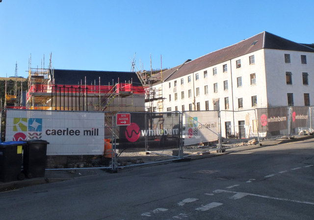
House building at Caerlee Mill, Innerleithen (2)
The east side of the site seen from Damside - compare with NT3336 : Caerlee Mill development, Innerleithen taken in July.
 Map © Crown Copyright")
TIP: Click the map for more Large scale mapping
- Grid Square
- NT3336, 289 images (more nearby 🔍)
- Photographer
- Jim Barton (more nearby)
- Date Taken
- Monday, 28 October, 2019 (more nearby)
- Submitted
- Monday, 28 October, 2019
- Subject Location
-
OSGB36:
 NT 3313 3688 [10m precision]
WGS84: 55:37.2532N 3:3.8021W - Camera Location
-
OSGB36: NT 3317 3687
- View Direction
- West-northwest (about 292 degrees)