2019
TQ7411 : Ringwood Brook
taken 4 years ago, near to Crowhurst, East Sussex, England
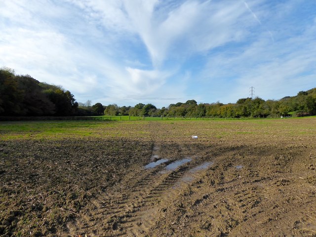
Ringwood Brook
The name of the field according to Crowhurst's 1841 tithe map located to the north of Watermill Stream and Ring Wood. A 16th century iron works was once lacted at the western end of the field.
 Map © Crown Copyright")
TIP: Click the map for more Large scale mapping
- Grid Square
- TQ7411, 50 images (more nearby 🔍)
- Photographer
- Simon Carey (more nearby)
- Date Taken
- Monday, 28 October, 2019 (more nearby)
- Submitted
- Thursday, 31 October, 2019
- Subject Location
-
OSGB36:
 TQ 7483 1146 [10m precision]
WGS84: 50:52.5716N 0:29.0186E - Camera Location
-
OSGB36: TQ 7493 1148
- View Direction
- WEST (about 270 degrees)