2019
SN5128 : Lane to the east from the Horeb cross-roads
taken 5 years ago, near to Horeb, Carmarthenshire/Sir Gaerfyrddin, Wales
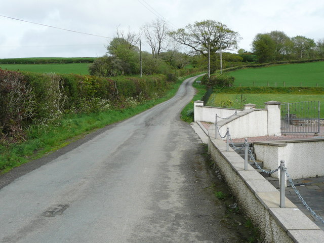
Lane to the east from the Horeb cross-roads
 Map © Crown Copyright")
TIP: Click the map for more Large scale mapping
- Grid Square
- SN5128, 12 images (more nearby 🔍)
- Photographer
- Humphrey Bolton (more nearby)
- Date Taken
- Friday, 26 April, 2019 (more nearby)
- Submitted
- Thursday, 31 October, 2019
- Subject Location
-
OSGB36:
 SN 5142 2816 [10m precision]
WGS84: 51:55.9238N 4:9.7495W - Camera Location
-
OSGB36: SN 5140 2815
- View Direction
- East-northeast (about 67 degrees)