2019
ST4563 : A boundary stone among the utilities
taken 4 years ago, near to Wrington, North Somerset, England
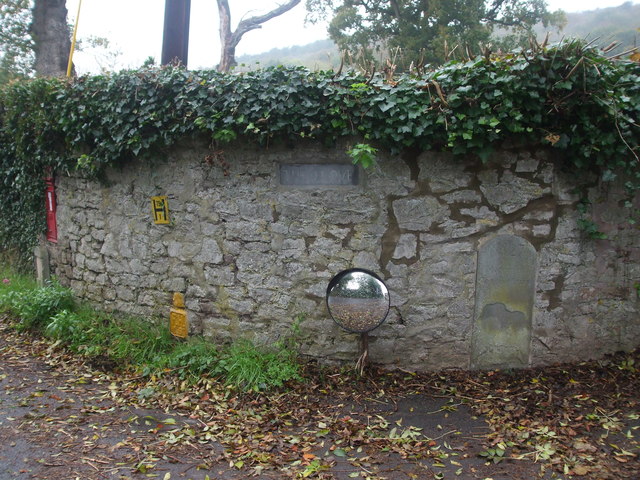
A boundary stone among the utilities
At the entrance to The Grove, appropriately on the junction where West Hay Road becomes Wrington Road, is a boundary stone. Also set into the stonework are some more common items. See ST4563 : Boundary Stone number 27 for a look at the boundary stone.
 Map © Crown Copyright")
TIP: Click the map for more Large scale mapping
- Grid Square
- ST4563, 27 images (more nearby 🔍)
- Photographer
- Neil Owen (more nearby)
- Date Taken
- Thursday, 31 October, 2019 (more nearby)
- Submitted
- Friday, 1 November, 2019
- Subject Location
-
OSGB36:
 ST 4594 6360 [10m precision]
WGS84: 51:22.1324N 2:46.6778W - Camera Location
-
OSGB36: ST 4594 6359
- View Direction
- North-northwest (about 337 degrees)