2019
TG3614 : Farm Lane, Ranworth
taken 4 years ago, near to Ranworth, Norfolk, England
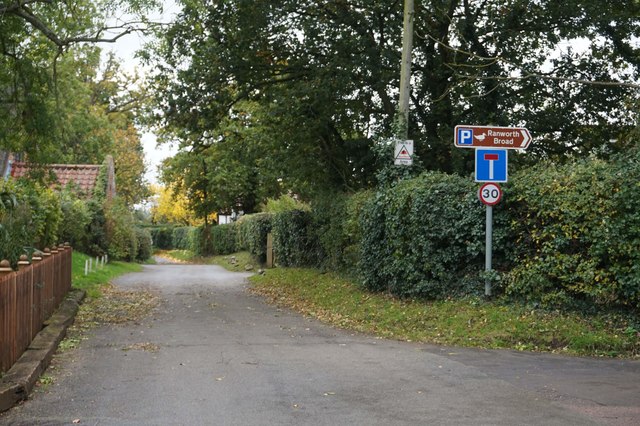
Farm Lane, Ranworth
 Map © Crown Copyright")
TIP: Click the map for more Large scale mapping
- Grid Square
- TG3614, 44 images (more nearby 🔍)
- Photographer
- Ian S (more nearby)
- Date Taken
- Saturday, 26 October, 2019 (more nearby)
- Submitted
- Monday, 4 November, 2019
- Subject Location
-
OSGB36:
 TG 3604 1458 [10m precision]
WGS84: 52:40.6481N 1:29.4157E - Camera Location
-
OSGB36: TG 3601 1458
- View Direction
- EAST (about 90 degrees)