Q9303 : Main Street, Farranfore
taken 5 years ago, near to Farranfore, Co Kerry, Ireland
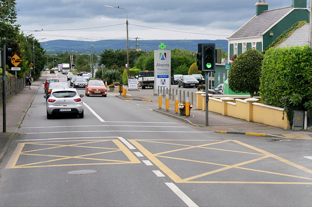
Main Street, Farranfore
The village of Farranfore (Irish: An Fearann Fuar, meaning "the cold land") lies on the N22 road approximately half way between Tralee and Killarney and is also on the railway line connecting the two towns.
The village came into existence as a turnpike. A gate at the cross-roads in the village marked the boundary of the lands of the Earls of Kenmare.
The village came into existence as a turnpike. A gate at the cross-roads in the village marked the boundary of the lands of the Earls of Kenmare.
Irish National Primary Road N22
The N22 is a major road in southwest Ireland, running for 116 km between Tralee and Cork, passing through counties Kerry and Cork. Since completion of the Tralee bypass in August 2013, the route has begun south of Tralee at the Camp Roundabout, end-point too of the N21 and N70.
![Creative Commons Licence [Some Rights Reserved]](https://s1.geograph.org.uk/img/somerights20.gif)
|
· Find out How to reuse this image ·
Share:
|
|||||
|
There is 1 post in a
discussion on Q9303 (preview on the left) |
Suggest an update to this image | Contact the contributor | |||
Loading map... (JavaScript required)
- Grid Square
- Q9303, 18 images (more nearby
 )
)
- Photographer
- David Dixon (find more nearby)
- Date Taken
- Tuesday, 13 August, 2019 (more nearby)
- Submitted
- Tuesday, 5 November, 2019
- Geographical Context
- Road (from Tags)
- Camera (from Tags)
- Subject Location
-
Irish:
 Q 939 032 [100m precision]
WGS84: 52:10.3037N 9:33.0229W - Camera Location
-
Irish: Q 939 032
- View Direction
- North-northwest (about 337 degrees)
Other Tags
This page has been viewed about 45 times.
View this location:
KML (Google Earth) ·
Google Maps ·
Bing Maps ·
Geograph Coverage Map ·
More Links for this image
·
Bing Maps ·
Geograph Coverage Map ·
More Links for this image