2019
SK5851 : Prepared field and Papplewick Pumping Station
taken 4 years ago, 3 km from Ravenshead, Nottinghamshire, England
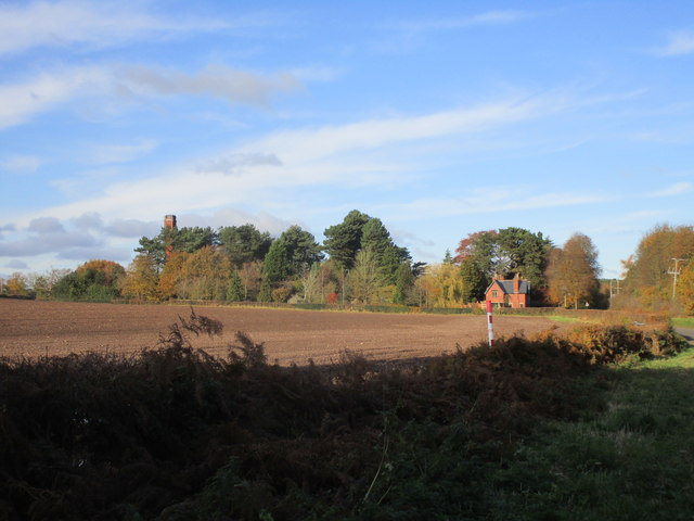
Prepared field and Papplewick Pumping Station
 Map © Crown Copyright")
TIP: Click the map for more Large scale mapping
- Grid Square
- SK5851, 34 images (more nearby 🔍)
- Photographer
- Jonathan Thacker (more nearby)
- Date Taken
- Sunday, 10 November, 2019 (more nearby)
- Submitted
- Monday, 11 November, 2019
- Subject Location
-
OSGB36:
 SK 5827 5193 [10m precision]
WGS84: 53:3.6869N 1:7.9177W - Camera Location
-
OSGB36: SK 5832 5175
- View Direction
- North-northwest (about 337 degrees)