2007
SN5547 : Pentre-bâch
taken 16 years ago, near to Pentre-Bâch, Ceredigion/Sir Ceredigion, Wales
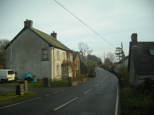
Pentre-bâch
Pentre-bâch is a small village spread along the A475 Llanwnnen Road across two adjoining grid squares; this one and SN5647. This looks from the western approach down the village street towards the former St. John's Church (the building with the belfry).
 Map © Crown Copyright")
TIP: Click the map for more Large scale mapping
- Grid Square
- SN5547, 7 images (more nearby 🔍)
- Photographer
- Dan Gregory (more nearby)
- Date Taken
- Friday, 14 December, 2007 (more nearby)
- Submitted
- Friday, 14 December, 2007
- Subject Location
-
OSGB36:
 SN 551 472 [100m precision]
WGS84: 52:6.2783N 4:7.0258W - Camera Location
-
OSGB36: SN 550 472
- View Direction
- EAST (about 90 degrees)