2019
SH3775 : Farmland south of the A55
taken 4 years ago, near to Dothan, Isle of Anglesey/Sir Ynys Mon, Wales
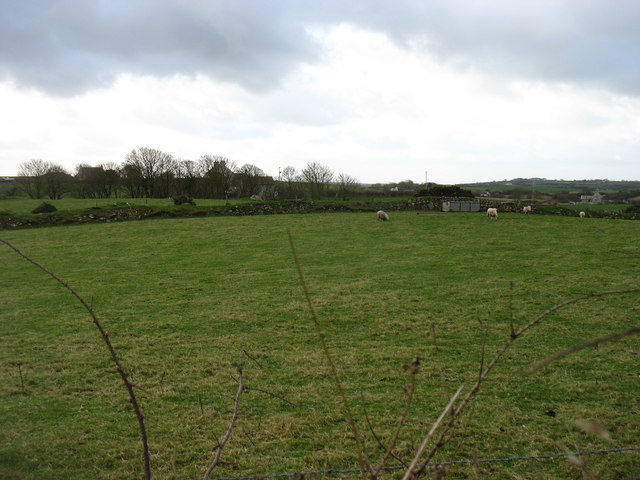
Farmland south of the A55
Seen from a lay-by on the westbound carriageway.
 Map © Crown Copyright")
TIP: Click the map for more Large scale mapping
- Grid Square
- SH3775, 26 images (more nearby 🔍)
- Photographer
- David Purchase (more nearby)
- Date Taken
- Saturday, 14 December, 2019 (more nearby)
- Submitted
- Sunday, 15 December, 2019
- Subject Location
-
OSGB36:
 SH 3760 7570 [10m precision]
WGS84: 53:15.2034N 4:26.1459W - Camera Location
-
OSGB36: SH 3772 7585
- View Direction
- Southwest (about 225 degrees)