J3832 : View SSW along Murlough Beach
taken 5 years ago, near to Newcastle, Co Down, Northern Ireland
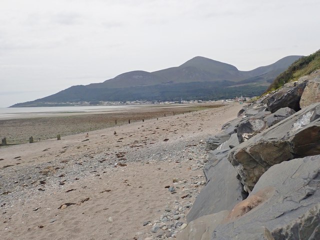
View SSW along Murlough Beach
The High Mournes form the background, The highest peak is Slieve Donard.
![Creative Commons Licence [Some Rights Reserved]](https://s1.geograph.org.uk/img/somerights20.gif)
|
· Find out How to reuse this image ·
Share:
|
|||||
| Start a discussion on J3832 | Suggest an update to this image | Contact the contributor | |||
Loading map... (JavaScript required)
- Grid Square
- J3832, 34 images (more nearby
 )
)
- Photographer
- Eric Jones (find more nearby)
- Date Taken
- Saturday, 27 July, 2019 (more nearby)
- Submitted
- Monday, 16 December, 2019
- Geographical Context
- Subject Location
-
Irish:
 J 385 320 [100m precision]
WGS84: 54:13.0926N 5:52.6308W - Camera Location
-
Irish: J 386 322
- View Direction
- South-southwest (about 202 degrees)
This page has been viewed about 26 times.
View this location:
KML (Google Earth) ·
Google Maps ·
Bing Maps ·
Geograph Coverage Map ·
More Links for this image
·
Bing Maps ·
Geograph Coverage Map ·
More Links for this image